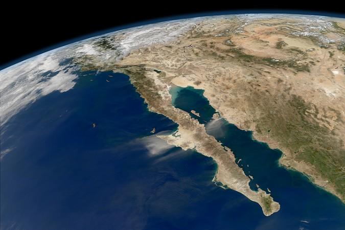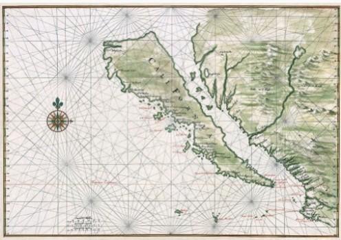
California, the American mainland's western peninsula that extends almost 1,200-km into the Pacific Ocean, almost equal to Italy in length. But for more than two centuries, many writers and European travelers believed that it was an island. No wonder, many old maps, most copied from the original, have been now shelved as archives in many libraries.
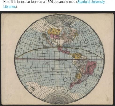
A Japanese map made in 1796 and archived in Stanford University library shows how California is an island adjacent to the US mainland and its title goes: "New and Correct Map of America." How did the Japanese, known for their ancient tradition of authenticity make this mistake?
First reference to california as an island was made by the Spaniards. In a 1510 novel written by Garci Rodríguez de Montalvo, it was written, "on the right-hand side of the Indies there was an island called California, which was very close to the region of the Earthly Paradise."
Soon, many Spain has colonized most of the region in California and its explorers sailed to the Mexican Pacific coast and encountered Baja California. Still they missed the mainland connectivity as they came from the south.
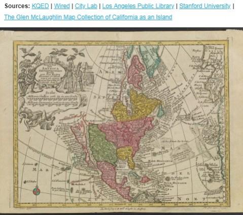
The Spaniards made their maps depicting California as an island and they were soon copied by the Dutch and the rest of Europeans and the Japanese. More than a century later, Jesuits travelled the entire stretch and realized that it was not an island but a peninsula. Finally, capping an end to the confusion, in 1747, King Ferdinand VI issued a decree stating that California is not an island.
Still, the Japanese map in 1796 continued with the myth that California was an island and a couple of more maps dated after this decree bore the same map.
With limited knowledge, sailors of the 15th and 16th century were right within their knowledge sphere but now, despite the advancements made in space and rocket technology, some groups tend to believe that the Earth is a flat surface and should be projected as a planisphere.
The ancient maps showing California as an island showed up finally when a venture capitalist bequeathed a host of them to the Stanford University, which has so far uploaded 708 of them into a HD digital archive.
A recent NASA image by Norman Kuring, Ocean Color Team took this compelling picture in November 2011 with cloud-free skies and a beautiful view of the entire length of Baja California and the Pacific coast of Mexico. The Moderate Resolution Imaging Spectroradiometer (MODIS) on NASA's Aqua satellite took this image and the Ocean Color Team at NASA Goddard processed it further. This is what California is, then and now. It's a question of perception from the above.
