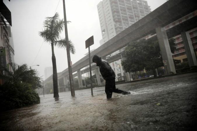
Even as the US is being battered by Hurricane Irma, with the storm making a landfall on Marco Island off Florida's west coast as a category four storm early on Sunday morning, Taiwan is gearing up for a typhoon. Typhoon Talim is set to make a landfall late on Wednesday and preparations to deal with it have already begun.
The typhoon is expected to strengthen on Tuesday and turn into a super typhoon by Wednesday when it makes a landfall near the border between Fujian and Guangdong provinces.
Taiwan government is reportedly coordinating with various village heads and evacuations have begun. While typhoons have been a regular feature in Taiwan, the frequency and intensity have increased in the last few years, due to which the 23 million residents also take these alerts and evacuations more seriously.
"For Taiwan, the most serious chance of a disaster is heavy rain causing a sudden mudslide. Before Morakot, people were taking chances, sort of like gambling," Li Wei-sen, secretary general with the government's National Science and Technology Center for Disaster Reduction, told the Associated Press.
Considering the residents have endured typhoons before, they know how to prepare. Besides, there is also a lot of information in the media, explained Ku Lin-lin, associate professor of journalism at National Taiwan University. "Taiwan is a small place. It's got a dense population. Everywhere you go you see a TV monitor showing you information, even in the subway or on the street."
Typhoon Talim is also likely to affect Hong Kong as well, as it may come within 800 km of the city on Thursday, September 14, reported the Hong Kong Standard. This distance could lead to storm signal no. 1 being raised.
Just in August, Hong Kong had witnessed a No.10 typhoon signal after Typhoon Hato, which led to the closure of schools, government offices, and business establishments. While no deaths were reported, there were about 120 cases of injury and the storm also caused quite some damage to property. More than 450 flights were also cancelled or delayed.

Meanwhile, Florida has been battered by Hurricane Irma and the storm is now changing course and is set to hit parts of Georgia, Alabama and South Carolina. Irma is likely to hit Atlanta early Monday morning with expected winds of up to 80 km per hour and heavy rains. The rainfall could be between 8 to 16 inches in parts of Georgia, 3-12 inches in western South Carolina, and western North Carolina and about 2 to 5 inches in eastern Alabama and southern Tennessee, reported Heavy.
Flash floods and mudslides are likely as well. "We're on the wrong side of the storm," Severe Weather Team 2 Chief Meteorologist Glenn Burns told Atlanta's WSB-TV. "The Atlanta metro is going to see a lot of rainfall, intense rainfall at times, 3-6 inches, with the possibility of isolated tornadoes. And we're going to see winds that are averaging about 40 mph, with peak wind gusts of about 60 mph."


