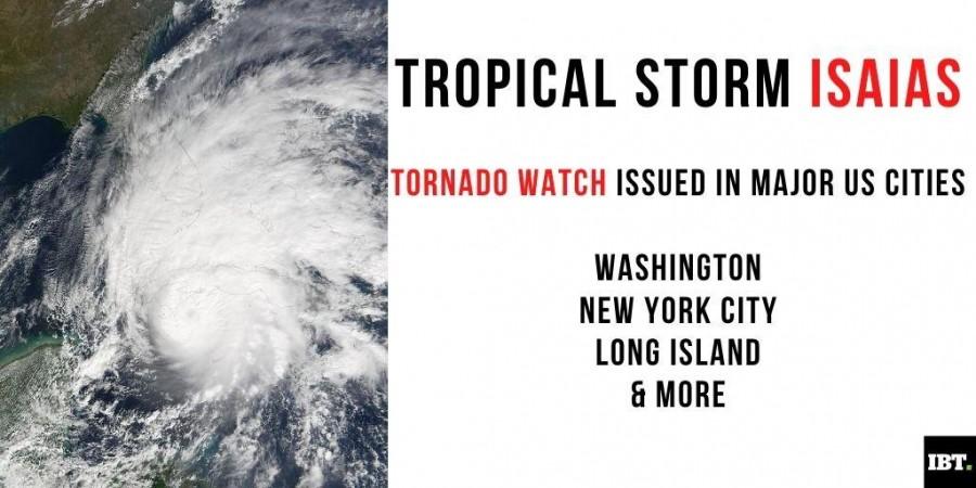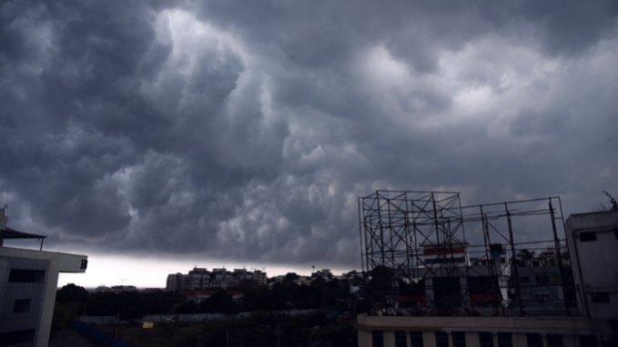
Tropical Storm Isaias is pushing through major metropolitan areas across the United States and they are now under a tornado watch. Isaias is traveling up the US East Coast on Tuesday with a strong wind forecast in New York City, peaking between 1 p.m. and 7 p.m. ET. This is expected to be the strongest winds since Superstorm Sandy in 2012.
According to weather forecast updates, more than 112 million people are under tropical storm warnings, affecting areas including Washington, New York City and Boston and more. Here are the updates on Tropical Storm Isaias.
Currently, Isaias is pushing through eastern Pennsylvania, causing heavy rain and strong winds to much of the Northeast. As many as two million electricity customers have power outages in the affected regions. According to reports, at least two are believed to be killed in Bertie County, N.C., The New York Times reported. Significant damage is also reported in the area.
Areas under tornado watch/ affected
- Virginia Beach, Virginia
- Washington, DC
- Philadelphia
- New York City
- Boston
- New Jersey
- Long Island
- Lower Hudson Valley
- Southwestern Connecticut
- Maryland
- Delaware
Tracking Isaias path shows it has traveled North Carolina and heading towards Washington, Philadelphia, Connecticut, Massachusetts, Quebec City, and onwards. As per updated forecast, Isaias will move through the Northeast and reach eastern Canada by early morning of Wednesday.

What to expect?
Rains expected throughout Tuesday
35-45mph winds with gusts to 65mph. Some areas might witness 60-70mph
Power outages
Isolated tornadoes
According to poweroutages.us, close to 700,000 customers were without power in North Carolina, Virginia, Delaware, Maryland and Michigan.
Do's and Don'ts
Ensure storm drains and gutters are clear of debris
Secure household items that can be propelled by strong winds
Do not drive on flooded roadway
Keep flashlights, batteries, charged cell phones, medical equipments, emergency kits handy
Call 9-1-1 in case of emergency or call local PD


