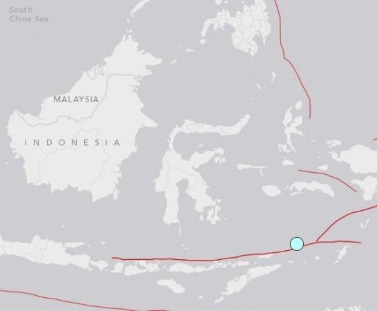
A strong earthquake of 6.2 magnitude hit the western coast of Sumatra Island in Indonesia on Sunday.
The quake struck at 10.24am (local time) with its epicentre in the Indian Ocean, approximately 340 km (212 miles) west-northwest of Saumlaki and 260 km (162 miles) west of the town of Sibolga in Indonesia's Tanimbar Islands, the US Geological Survey said.

There have been no reports of casualties or property damage in the region, reported Reuters. Indonesia's Indonesia's Meteorology, Earthquake and Geophysics Agency, gave a magnitude of 6.7 on the Richter scale.
According to the latest report by Jakarta Post, the temblor 'rattled a remote swath of sea between the Pacific and Indian oceans', which lies east of Timor-Leste and north of Australia.
No tsunami warnings or advisories were issued by the Pacific Tsunami Warning Centre or the Japan Meteorological Agency after the quake struck the island.
The south-east Asian country is prone to earthquakes due to its location on an arc of volcanoes and fault lines in the Pacific Basin called the 'Ring of Fire'.
It was in 2004 when a temblor caused tragedy in the Indonesian archipelago, which has 18,307 islands. The earthquake triggered a tsunami that took lives of 230,000 people in a dozen countries, most of them in Aceh in Indonesia.


