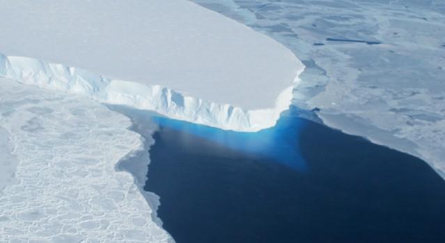
The National Aeronautics and Space Administration has created a forecasting tool that reveals which cities in the world will be affected when the portions of glaciers melt. In India, Mangalore in Karnataka, Mumbai in Maharashtra and Kakinada in Andhra Pradesh are at a high risk of flooding.
The tool reveals that the local sea level will change in Mumbai, Mangalore and Kakinada due to the melting of glaciers and ice sheets. These cities are vulnerable due to global warming in Greenland and Antarctica.
Over the next 100 years, the sea levels in Mangalore will be pushed up by 15.98 cm, in Mumbai it will be by 15.26 cm and in Kakinada it will be by 15.16 cm, the study, carried in the journal Science Advances says.
Scientists at NASA's Jet Propulsion Laboratory in California developed the tool – gradient fingerprint mapping (GFM). The tool looks at the Earth's "spin and gravitational effects" and predicts how water will be "redistributed globally."
"This provides, for each city, a picture of which glaciers, ice sheets, [and] ice caps are of specific importance," the researchers said.
"This is the first time our method will enable planners and engineers to retrieve data about sea level in their area, and get updated numbers when new data about glacial melting becomes available," Surendra Adhikari, a co-author of the study, told Hindustan Times.
"As cities and countries attempt to build plans to mitigate flooding, they have to be thinking about 100 years in the future and they want to assess risk in the same way that insurance companies do," senior scientist Dr Erik Ivins said.


