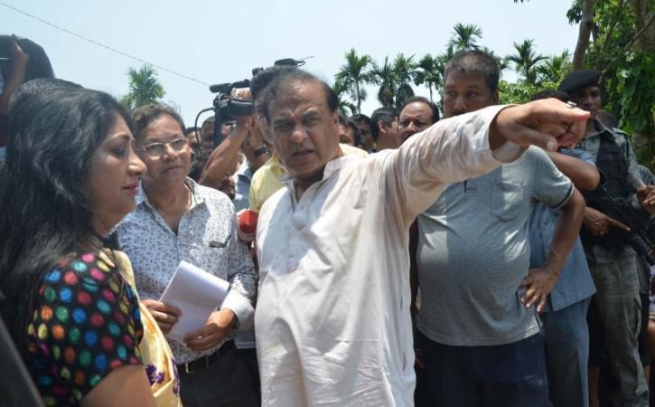
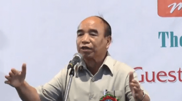
Last week, even those privy to the North-East politics were surprised at the violence that erupted on the inter-state boundary of Assam and Mizoram. The firing left at least six Assam policemen dead and over 50 people injured. Even though tensions have been escalating and the border dispute between the two states goes a century and a half back, but things have rarely taken a violent turn to this level.

The clashes and violence in the Kolasib district that borders Assam's Cachar district, led to Mizoram Police booking Assam CM Himanta Biswa Sarma and senior police officials for attempt to murder. The case was filed at Vairengte Police Station in Kolasib district of Mizoram. The local inspector H Lalchawimawia filed the case.
The latest instance of violence
A huge team of around 200 policemen from Assam, led by IGP OF Assam Police and other senior IPS officers, apart from the DC, travelled to Vairengte autorickshaw stand on Monday. Assam police team says they went to "resolve matters" but Mizoram claims that they trespassed and forced their way in, overrunning duty posts and showing little regard for security checkpoints.
Assam Home Minister's statement
The Assam Home Minister issued a statement on the matter that stated: "In another breach of existing agreements and the existing status quo, Mizoram began constructing a road towards Rengti Basti in Assam, destroying Inner Line Rserve Forest in Lailapur area. Simultaneously, the Mizoram side also set up a new armed camp on a hillock, next to the camp of the neutral force CRPF, in the same vicinity. A team of Assam, officials including an IGP, DIG, DC Cachar, SP Cachar and DFO Cachar went to the area this morning to request the Mizoram side not to disturb the status quo."
Mizoram Government's statement
On the other hand, Mizoram Home Minister Lalchamliana claims that Assam Police entered their territory and committed arson. Mizoram Government in an official statement says, "The team forcibly crossed a duty-post manned by CRPF personnel stationed there and overran a duty-post manned by one section of Mizoram police personnel. The Assam Police also damaged several vehicles that were travelling along the National Highway between Vairengte and Lailapur."
Meanwhile, Mizoram CM Zoramthanga has also assured that there will be no restrictions and no harm to non-Mizos entering the state, even though the armed cops will stay put.

Mizoram-Assam border dispute at a glance
The boundary between the states of Mizoram and Assam is disputed at several levels and goes decades back. Several rounds of dialogue have been held between the states since 1994 but no concrete solution or resolution of the conflict happened so far. As a result, the disagreement continues.
Mizoram borders Assam's Barak Valley and both Mizoram and Assam border Bangladesh. The boundary between the two states is nearly 165-km long and goes back to the boundary demarcations which were drawn in 1875 and 1933. Priot to this, Mizoram was a district of Assam itself and known as Lushai Hills. It is especially the demarcation that happened in 1933 that is at the heart of the dispute.
The year 1875
The first demarcation took place in the year 1875, under the Bengal Eastern Frontier Regulation Act (BEFR), 1873. As per the notification, the Act differentiated Lushai Hills from the plains of Cachar in Assam's Barak Valley. At the time, both the Mizo chiefs were consulted and consequently BEFR became the basis of Inner Line Reserve Forest demarcation.
The year 1878
The Inner Line of 1875 on the southern frontier of Cachar district, which was also notified as per the BEFR Act, was subsequently revised in 1878, as it sought to demarcate the Lushai Hills frontier from the plains of Assam.
What happened in 1933
Fast forward to the year 1933, and the demarcation marks a boundary between Lushai Hills and Manipur. This one begins at the tri-junction of Lushai Hills, Cachar district and Manipur. It is this demarcation which is the bone contention as the Mizos do not accept this demarcation saying that their chiefs were not consulted for this one.
What the Mizos say
The Mizo leaders maintain that the only acceptable boundary is the Inner Line Reserve Forest Demarcation of 1875, notified as per the BEFR Act. In a memorandum written (collectively by political parties, NGOs, and a joint action committee on border dispute) to PM Modi in 2018, Mizos claim that the present, "so-called" boundary was arbitrarily made in 1930 and 1933 without the consent or consultation of the people of Lushai Hills, now Mizoram.
They also say that this boundary excludes some of the Lushai inhabited areas such as Cachar Zion, Tlangnuam, Lala and Banga Bazar. They also claim that the new boundary line deprives the Mizos of the flat lands and gentle slopes for the convenience of the outside Bangladeshi settlers, brought by the British.

UT in 1972, state in 1980
In 1972, Mizoram became a Union Territory and in 1980, a state. The border dispute however, continues and has been simmering since then. The two states signed a memorandum as per which the status quo is supposed to be maintained but both sides have indulged in and alleged transgressions by the other.
Mizoram maintains that last year Assamese officials entered Mamit district of Mizoram and some miscreants entered the farms in Kolasib district and burnt them. Allegedly, Assam police also visited a few districts of Mizoram and threatened to block the inter-state highways.
Since last November, bombs have exploded, several huts and small shops have been torched, clashes between villagers have occurred and violence has erupted out of petty issues.


