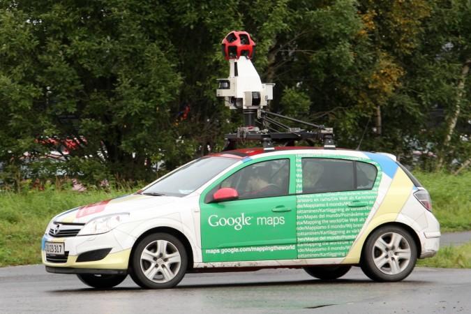
India's Ministry of Home Affairs turned down a request by Google to feature India in its Google Street View technology, reported Press Trust of India. The technology, inbuilt in Google Maps and Earth, lets users experience a panoramic, 360 degree, street-level 3 D imagery of cities, tourist spots, hills and rivers in the country.
The idea of capturing series of images from multiple angles of a single place/spot to create a panoramic view, when combined, has made India wary of its potential misuse. Pakistani-American David Coleman Headley had shared his photographic recce of targetable places with the terrorist, who in turn used it to hoist an attack in Mumbai in 2008.
Watch the Taj Mahal on Google Street View: Google's wide gallery of Street View imagery
Sources in the government told PTI that the rejection was an outcome of detailed study by security agencies and the defence forces. Both felt that such a technology would mean compromising on the security architecture of the country.
The proposed Geospatial Information Regulation Bill, 2016, slated to come to effect soon, will sort out issues related to internet-based applications, said Minister of State for Home Kiren Rijiju.
On an experimental basis, along with a partnership of the Archaeological Society of India (ASI), Google launched its Street View technology in some of the tourist sites. It featured the Taj Mahal, Red Fort, Qutub Minar, Varanasi river bank, Nalanda University, Mysore Palace, Thanjavur temple, Jantar Mantar, IIT Bombay and Chinnaswamy stadium, among others.
The technology launched in 2007 is extensively used in the U.S., Canada and many European countries. The photographs are generally shot from moving vehicle, but topographical conditions require it to depend on trekkers, tricycles, boats, snowmobile, camels, underwater devices and others.


