External Affairs Minister S Jaishankar on Thursday brushed aside the controversy over the purported 'Akhand Bharat' map in the new Parliament building, saying that it's not a political issue.
While friendly nations like Nepal have understood India's explanation, a nation like Pakistan does not have the capability to understand it, said the minister in response to a question on the issue being raised in friendly neighbouring countries like Nepal and Bangladesh.
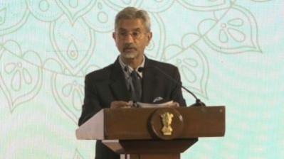
"The (external affairs ministry) spokesperson (Arindam Bagchi) has already explained that the map depicts the spread of the Ashokan empire," Jaishankar said when asked about the controversy over it.
To a supplementary question on whether the explanation remained the same for both friendly nations like Nepal as well as not so friendly nations like Pakistan, the minister quipped, "I don't think it is a political issue. Friendly nations have understood it. Pakistan does not have the capability to understand it."
Nepal Prime Minister Pushpa Kamal Dahal 'Prachanda', who had visited India last week, was asked about the map on his return.
On Wednesday, Prachanda told the National Assembly that the map was not political and he had raised the issue during his recently concluded India visit, during which he met his Indian counterpart Narendra Modi and other top leaders.
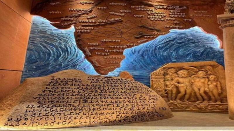
"We raised the issue of the new Indian map which is placed in Parliament. We have not made a detailed study but as reported in the media, we raised this issue on a serious note. But in its response, the Indian side said it was a cultural and historic map and not a political one. This should not be seen in a political way. It needs to be studied. But I have raised it," Prachanda said.
Last week the controversy over the map raged, as some BJP leaders including parliamentary affairs as well as coal and mines minister Pralhad Joshi alluded it to the depiction of 'Akhand Bharat' or unified India.
The external affairs ministry also had to give a clarification on it, after questions were asked about the map not going down well in countries like Nepal and Pakistan.
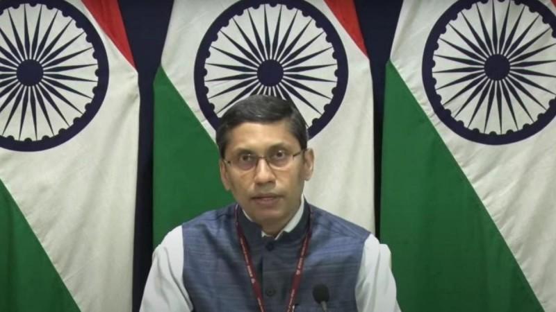
"The mural in question depicts the spread of the Ashokan empire and the idea of responsible and people-oriented governance that (Emperor Ashoka) adopted and propagated," Bagchi had said in response to questions on the map last week.
"That's what the mural and the plaque in front of the mural says. I really don't have anything further to add to that. I'm certainly not going to comment on statements that other political leaders might have made," he had added.
Kathmandu Mayor displays Greater Nepal Map
However, the row escalated in Nepal on Thursday when Kathmandu Mayor Balendra Shah has put a new 'Greater Nepal' map in his office as a counter move.
Although the Nepal government has remained silent on the issue, the opposition parties, including the CPN-UML, have opposed the map which shows the Himalayan nation as part of the ancient Indian landmass.
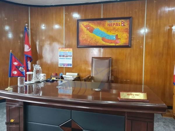
They have and asked the government to take up the matter with India. Mayor Shah, who is currently in Bengaluru for his wife's treatment, had placed the map in his office before his visit to India.
At one time, the territory of Nepal was spread from the Teesta in the east to the Sutlej in the west. However, after the war with the British, Nepal lost a large part of its land. After the war, the territories from Mechi to Teesta and from Mahakali to Sutlej were permanently annexed to India.
(With inputs from IANS)


